Wednesday, March 16, 2011

The Cutler divided and undivided

Back in the Permian the Uncompahgre Mountains in western Colorado were experiencing extensive erosion and creating some great alluvial fans to the west all the way into now what is Utah. These red beds, now called the Cutler formation after a small creek just north of Ouray CO can be seen from western Colorado into central Utah. What is interesting is that the Cutler seems to have two sets of identities. In western Colorado, extreme eastern Utah and other places along the Colorado River we find the Undivided Cutler.

The undivided identity is a thick mix of irregular collection of dark red, lumpy sandstones, mudstones and conglomerates.

The divided sequence looks a little different. It too has the debris from the Uncompahgre Mountains but it also shows a more complex geologic story. The earliest layers show a shale/limestone mix complete with fossils indicating a marine origin. Resting above the limestone is the Cedar Mesa Sandstone an inter-fingering of near beach white sandstone and the red from the Uncompahgre Mountains showing a changing sea level. The sequence is finally topped with a brilliant white aeolian sandstone showing again a very different environment.


Taken from the Colorado River overlook. The Undivided Cutler in the foreground with the Needles of the Cedar Mesa Sandstone of the divided Cutler in the background.

A closer look at the Undivided Cutler looking down at the Colorado River

Monday, March 7, 2011

AW #32. Favorite images The anticline overlook

Ann said the festivities don't start until tomorrow night so I have a chance to hand this in late! Thanks!

This was taken from the appropriately named "Anticline Overlook" of the Canyon Rims Recreation Area in eastern Utah. The anticline is obvious, you can see the upward curve of the rock units. I love the part where the river cuts through the anticline making a natural road cut.

The river cuts through the Permian age Cutler formation, the left overs from the formation of the Ancestral Rockies. The upward arching of these rocks is from the squishing (a very technical term) of a buried salt layer. Far below the Cutler lies the Pennsylvanian Paradox formation, a mile thick layer of salt that has a tendency to move about creating some fun landscapes in the desert southwest. The buildings and ponds you see in the picture are a potash mine. Water is pumped underground into the Paradox layer, dissolves the salts and the brine is pumped back to the surface into the blue evaporation ponds in the background. The water evaporates away leaving the salts for transport.

The fun part of this area are the roads. They are barely visible in the picture but they travel hundreds of miles through the red rock desert . A mountain biking heaven!


Monday, February 14, 2011

Highway engineering, aquatic ecosystems and a little bit of gold

A second installment of Geology begets biology

This is a view looking east towards the Continental Divide in Summit County Colorado. The highway snaking up the hill is Interstate 70. The highway bottoms out at 8900 feet and then climbs steadily to 11,150 feet where the road enters the Eisenhower Tunnel and makes its way under the Continental Divide to the east slope.

The original plans had the tunnel a few miles west and a couple of thousand feet below its current placement. However, before construction began, the bean counters started to complain about the length of the tunnel and asked if there could be another placement for the bore. So, apparently the powers that were decided that the geology in the mountain should all be somewhat similar and decided to drill the tunnel in its present configuration. So, the highway now climbs up the Straight Creek drainage to the 11,150 foot elevation and then makes its way east.
The problem with this plan is the gradient of the highway exceeds the Interstate standards and requires massive amounts of sand to keep the highway open. It is just too steep on those icy days.

Normally, a high country stream like this is relatively sediment poor and would be able to easily transport any sediment it receives from erosion. However, now as spring arrives and the snow melts, huge amounts of sand are washed into Straight Creek severely impacting water quality. The towns of Dillon CO. and Dillon Valley CO. rely on this watershed for their potable water. In addition, Straight Creek runs into the Blue River with its gold medal fisheries.

In the early 1990's my biology classes spent some quality time in Straight Creek doing pebble counts and macro-invertebrate census collections. Yes, the water was quite cold. Our findings: There were no macro-invertebrates as their habitat had been inundated by feet of sand. The pebbles we found, were all sand grains. No matter our findings, this was a wonderful experience for a group of high school sophomores and our data ended up in someone's Master's thesis.

By now, the Colorado transportation department, local water quality agencies and the state wildlife agency saw the problem and created a series of check dams and sedimentation ponds to catch the sand. In 1993, over 1100 tons of sand were removed from the ponds, about 10% of the total sand applied. Since then, more check dams and sedimentation ponds have been built and by 2000, the majority of sand has been kept from entering the creek. This is an incredible long term maintenance process that in the long run, costs more than the longer tunnel would have back in the 1970's


Wednesday, February 2, 2011

Cold across the Country


Cool image of the cold across much of the country.
Thank you weather underground.

Thursday, January 27, 2011

Geology begets biology. North facing vs. South facing slopes

I taught High School biology for a long time, almost my whole K-12 career. Of course, that meant my biology classes had a decidedly geological slant to them. One concept I tried to instill in my biology students was that the literal underpinnings of the ecosystem was the underlying geology.

I called these explorations "Geology begets Biology"

One idea that seems simple but created problems with many students was north facing slopes vs. south facing slopes. Both sides of a hill receive approximately the same amount of precipitation, have similar soils and experience the same temperatures but can appear very different from each other. However, the south facing slopes receive more direct sunlight and snow will melt faster, soil moisture will evaporate faster creating a dryer micro climate than the shady north facing slope which might be only meters away. The slower evaporation on the north side means that plants (that biology connection) will have more available moisture. With the snow melting at a slower rate, there is more water available longer in to the spring.

Ultimately, the species of plants found on south facing slopes will be more drought tolerant while their north facing cousins less skilled at surviving with low water amounts. Here, in Colorado's southern mountains, the north facing slopes are full of large evergreen trees, while the south side has more shrubs like the ubiquitous sage brush. So, in just a glance we should be able to roughly decide on "north" even without a compass.


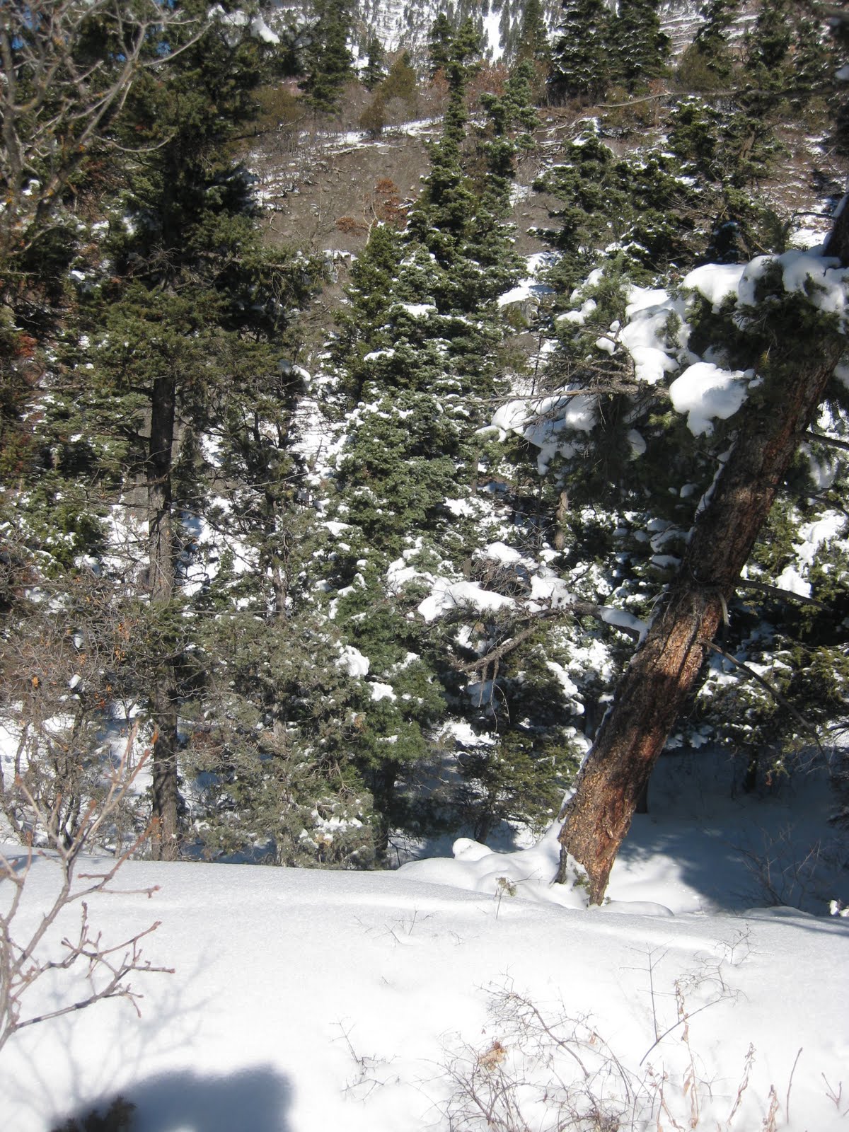
In the foreground, the grassy slope is facing south and west while the heavily treed area is more north and east.
Notice the scrub oak. What you can't experience is the snow depth under the oak is only a few inches.
Looking across the gully at the fully melted south facing slope. I was traveling on the north facing slope in 8-10 inches of snow from a recent storm while the other side is clear.
Again, looking across the gully at the melted out slope. I was in the shade of a large Ponderosa pine tree. The south facing side is home to a large population of scrub oak trees

Wednesday, January 19, 2011

A visit to our Grandson and the Pacific Plate

We spent the MLK weekend visiting our almost one year old grandson (and family) in California. One day, we traveled across the Santa Cruz mountains to the ocean and visited a small state park, Natural Bridges State Beach with its namesake natural bridge sitting just a little bit off shore. I will admit, I was too busy making faces and goofy sounds and generally playing grandfather with the baby to notice when we crossed over from the North American Plate to the Pacific Plate. I guess I will pay more attention on the next visit.

Once at the state park we spent some time exploring the beach. Having spent most of my geology career in Colorado and Utah, I find visiting a current beach to be lots of fun. The beaches I usually frequent were sea side back in the Permian.
The rock was a fun mudstone. A very fine grained sedimentary rock, Miocene in age. Again, I am used to pretty soft sedimentary rock in the canyons of Utah. This mudstone was, pardon the expression, rock hard! The cementing agent of SiO2 has created a very erosion resistant rock that made some great tide pools, ocean side cliffs and
... of course the natural bridges. In the recent (historical) past there were three bridges present. Two have succumbed to the power of erosion leaving the sole remaining bridge, for now. Reading a web site from the University at Santa Cruz the author suggests that the bridges have been transformed from a natural wonder into an educational resource.As for being on the Pacific plate. It didn't feel very different, but I thought I could just faintly detect a little more northward motion instead of the constant westward traveling I have been doing my whole life.

Tuesday, January 11, 2011

The earth will survive

I had the chance to visit an upper elementary classroom just a few days ago. While there I shared how the earth's climate has changed over time. I led them through the idea that we have all kinds of clues about past climate by looking at rocks. So, we examined hand samples of sandstone, shale and limestone and compared the clues from each rock type. We discussed how differences in temperature, atmosphere, proximity to water can change how a rock looks (not bad for a group of kids with no chemistry in their academic history) And if the weather cooperated we would have taken a field trip to some nearby cliffs to see the story they tell.


One student, obviously getting information from her parents, decided to trap me about climate change. She was pretty smug when I replied that yes, the planet itself has survived past changes and will survive any future climate change except perhaps resulting from a large impact or our sun growing into a Red Giant.

Her face fell though when I said, we weren't concerned about the planet as much as we were concerned with the animals and even the human beings on the planet. I am amazed that we must still argue over the presence of climate change here on earth. I guess I'll just keep taking my show on the road one classroom at a time.

I bet the dinner discussion that night was interesting.