Last week we saw our first major accumulation of snow. In some places there were reports of four feet! Not so much here, but a blue sky day and new snow that was just aching to be skied on. We climbed up into the basin, and noticed very few ski tracks and a few recent avalanche paths, including this one large slide.
Sunday, December 20, 2009
Avalanche
Tuesday, December 15, 2009
traveling meme
Well I haven't posted for quite some time due to some family traveling, with night time flying and events where it would be extremely bad form to photograph any surrounding outcrops.
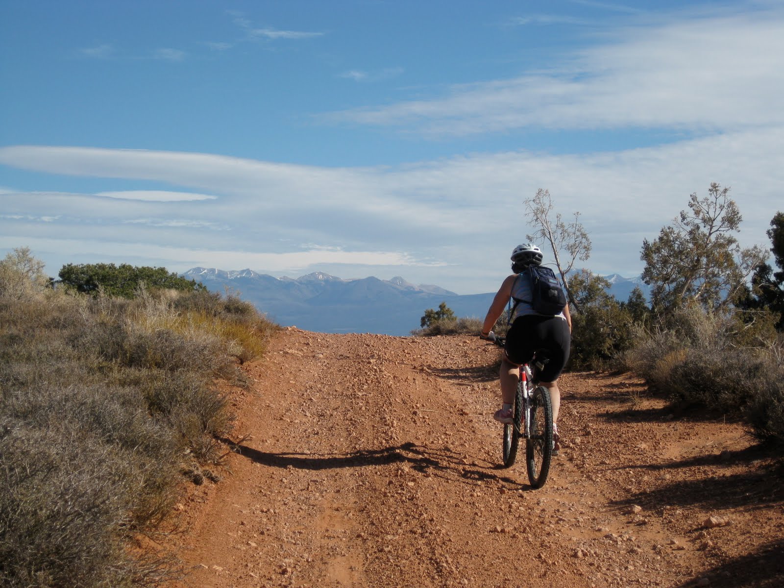
Most of my field trips are close to home, the San Juan Mountains in SW Colorado and the red rock canyon country of Utah. I will also admit that most of the geology I do is done on the back of a mountain bike. My wife calls in recreation, but I am convinced we are doing real science.
This year, along with visiting my usual nearby haunts, there were three trips further afield. In April, my first trip to Hawaii! June saw us visiting Yosemite. Much of August and September was in New England helping family members.
Skiing near Red Mountain Pass last January
The black sands of Hawaii during spring break
Eye of the Whale arch in Arches National Park
Iconic Yosemite valley
Teaching a field class while floating the Colorado River.
Riding in Crested Butte. Great flowers among spectacular mountains.
The Colorado River flowing through an anticline.
Wednesday, November 18, 2009
Laccoliths as landmarks
A friend was asking about some interesting places to visit on the Colorado Plateau. I gave her some names of trails, canyons, drainages and ridge lines that I thought were fun. When it came time for directions I didn't use the typical cardinal directions, but instead used the location of the three main laccolithic mountain ranges of the Colorado Plateau. Needles to say...she gave me a hard time. Again, needless to say I gave her a little geology lesson concerning these mountain ranges.
In the late Paleogene-early Neogene, igneous rocks intruded into the area, "doming up" the overlying sedimentary rock creating laccoliths across the Colorado plateau. Over time, much of the overlying strata eroded away leaving the root of igneous rock surrounded by steeply dipping sedimentary rock. We just don't see much of a dip in sedimentary rocks in much of the plateau.
These small mountain ranges have captured some of the scarce water vapor that has crossed the arid Colorado Plateau creating many of the systems of canyons we see today.
These mountain ranges are also great landmarks as they can be seen from many parts of the eastern portion of the Plateau. It is comforting when you emerge from a canyon, look to the west and see the Henry Mountains. That and a GPS can get me to the car.
The Abajo Mountains west of Monticello.
The Henry Mountains. One of the last areas explored in the US.Wednesday, November 11, 2009
cause and effect
Here the Colorado River is cutting through an obvious anticline. The anticline was created when salt, deep underground, squished around and pushed sediment up.
What makes this image interesting is the potash plant. The right side of the picture shows the potash plant where they pump water down into the Paradox formation (salt from the Permian) The left side of the picture shows the vivid blue evaporation ponds. Water filled with paradox brine comes up to the surface evaporates away and leaves the salt behind.
Tuesday, November 10, 2009
misconceptions and difficult concepts
Looking just above the Colorado River towards the Islands in the Sky, you can see a white strip creating a rather wide bench. The bench is named the White Rim and the rock unit is named after the bench. The sandstone is a brilliant white (hence the name) quartzose. In early Permian times, this region was a great inland sea of sand.
When I talk with teachers and students they almost universally understand that sediment was originally deposited horizontally. Most can at least intellectually understand the geologic time scale. What they don't seem to understand is that the rock unit does not exist in all places. Most of my students expect the White Rim, Wingate, Chinle etc to be found in all areas of the Colorado Plateau.
What seems to happen though in the translation from my field lecture (pointing, waving and talking) to their brains is that they believe that each rock unit is of equal depth for its entirety. It is only through much diagramming of sea level change and beach strands moving all over the state for me to get the bulb to light up. In this case, the White Rim's showcase is here on the Rim itself. As you travel north and east the rock unit itself thins out to nothing.
For a more in depth look at the geology of the White Rim sandstone visit Geotripper.
Wednesday, October 28, 2009
sharing earth science with the next generation
Thanks TC for the extension. Jess at Magma Cum Laude is hosting this month's Accretionary Wedge and has given us an extra week. Thanks!
This month is all about sharing our
love of geology with budding geologists. I get to work with K12 teachers every summer. We do a quick day on campus
(Colorado School of Mines) and then we take off for the canyons of the Colorado Plateau. Depending on the class we spend either 3 or 5 days on the river while studying geology. The teachers as students try their hand at calculating river discharge, suspended solids and total dissolved solids. We use inclinometers/Brunton compasses/ rulers-taped-to-protractors to determine the height of canyon walls. Once the height was calculated we determined the rate of incision using some local lava flows that have been dated. And sometimes we visit old Uranium mines. It is so cool to do such simple calculations that have real results. Oh-ya we also have a lot of fun doing geology outside!
I also spend some time with the kids themselves. Locally, Colorado History is taught in the 4th grade. We spend time wandering around old mining districts and trying to see what the old prospectors were looking for before they dug their hole. The kids love wandering around outside and looking at rocks!
Just last week I spent a day with some local 8th graders. We looked at geology with 2 views: identification and interpretation. We first identified the rock and then we interpreted what the rock could tell us about ancient times. We discussed rock units and mappable units. We examined sedimentary rock from an ancient ocean, igneous rocks that indicated a massive volcanic explosion and a metamorphic rock that showed us some impressive forces from Pre-Cambrian times. Again, you can't beat walking the mountains with a bunch of kids and just let the rocks tell their story.
Tuesday, September 29, 2009
Back in the Mountains- rock glaciers
My kids already know that I enjoy the finer things in life. The sun setting with palm trees in the foreground, fresh squeezed orange juice and rock glaciers. The San Juan mountains seem to have more than a few rock glaciers to observe and very few palm trees. These two examples are near Molas Pass on Highway 550. Hike south on the Colorado Trail and you will pass both within the first fifteen miles.
The basic ingredients to rock glaciers are pretty simple.
1. Lots of rocks! In both cases, the raw materials, talus, are made from the weathering of volcanic tuff. This volcanic rock is brittle and weathers easily into smaller chunks of rock. Mountains are great places for freeze-thaw weathering as almost every day of the year sees temperatures above and below 0 degrees C.
2. Frozen water. Within the pore space of these talus fields we find ice. Water has filtered between the rocks of the rock glacier and has frozen into place. Even though temperatures will rise above 0 C often, the insulating property of the rocks coupled with the lack of direct sunlight beneath the rocks keep the water frozen.
3. A slope. After even a small time hiking these mountains it is easy to see there is very little level ground. A slope is not hard to find.

Plenty of rock available. An obvious slope and we will assume some ice present under the surface layer of rock.
Notice the ribbing of rock. An ice glacier will exhibit similar crevasse fields from the movement of the mass.
The basic ingredients to rock glaciers are pretty simple.
1. Lots of rocks! In both cases, the raw materials, talus, are made from the weathering of volcanic tuff. This volcanic rock is brittle and weathers easily into smaller chunks of rock. Mountains are great places for freeze-thaw weathering as almost every day of the year sees temperatures above and below 0 degrees C.
2. Frozen water. Within the pore space of these talus fields we find ice. Water has filtered between the rocks of the rock glacier and has frozen into place. Even though temperatures will rise above 0 C often, the insulating property of the rocks coupled with the lack of direct sunlight beneath the rocks keep the water frozen.
3. A slope. After even a small time hiking these mountains it is easy to see there is very little level ground. A slope is not hard to find.
Plenty of rock available. An obvious slope and we will assume some ice present under the surface layer of rock.
Notice the ribbing of rock. An ice glacier will exhibit similar crevasse fields from the movement of the mass.
Subscribe to:
Posts (Atom)